The Dempster Highway 
The
Story and
photo’s By Sebastiaan van den Heuvel
![]()
We left a sunny
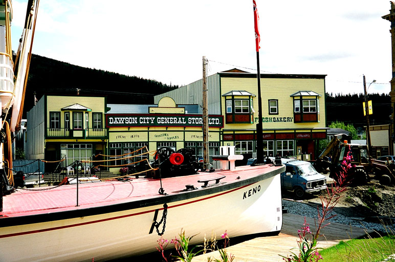
The Dempster highway is a 750 kilometer long
gravel road in the Canadian Arctic, the road begins about 50 km. east of
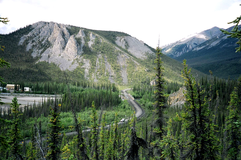
Dempster highway near Engineer creek
The Dempster Highway goes threw rough mountain territory, high arctic woods, tundra and many rivers including the mighty MacKenzie river.
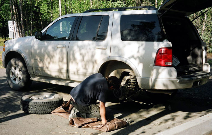
Driving on this year open gravel road can be dangerous; in summer the road can be very slippery in cold and wet weather in drier days the road in known for it’s dusty conditions, in winter temperatures can far below zero and high winds poor visibility and no daylight can make it a very difficult drive.
Traffic in summer is about 100 vehicles per day, in winter this can be as low as 15. In winter ice roads provide access to the towns of Aklavik and Tuktoyaktuk, ice roads are open from late December until March.
The
The
After 365 km. there’s the first gas pump on the
Approaching Eagle Plains.
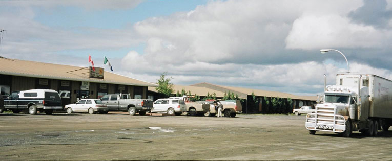
The “Dempster” is widely used for transportation of goods to the MacKenzie delta Oil and Gas industry.
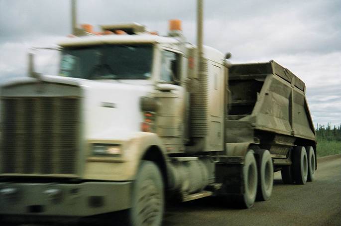
Truck on the highyway.
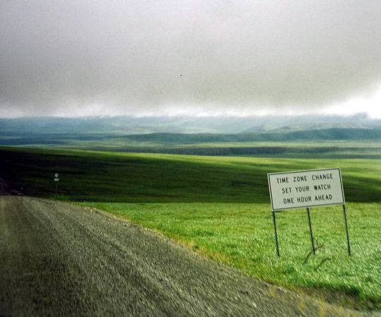
The Arctic Circle lies at 66.33.3 degrees north, on 22 and 23 December the sun does not come above the horizon and in June there’s 24 hour of sunshine, in Canada this is the only permanent road that crosses the Arctic Circle.
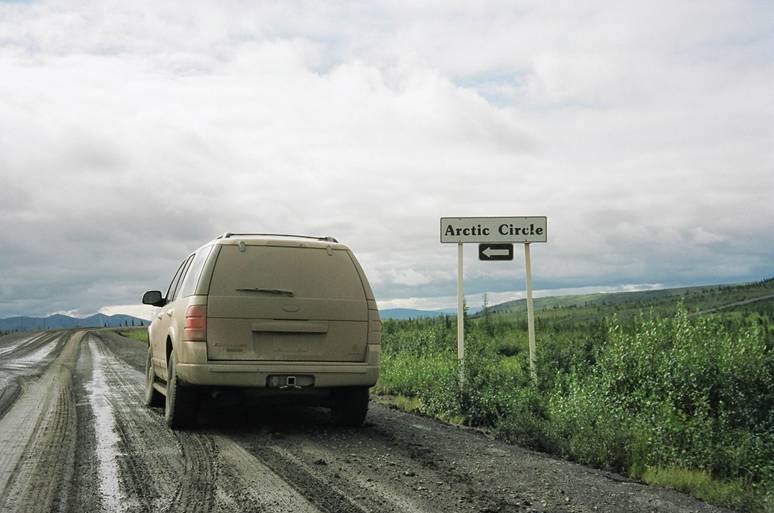
The arctic circle.
In the winter of 1931-1932 a man named Albert Johnson killed a mounty here, a manhunt had begun he wounded two others and eventually he was shot he became known as THE MAD TRAPPER.
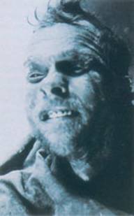
The mad Trapper looking not so healthy……(that’s because he’s jus shot).
In summer calcium chloride is used to reduce dust, but in wet conditions this makes it very slippery.
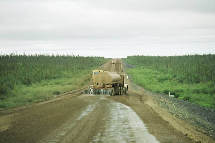
Dusty roads becoming very slippery…
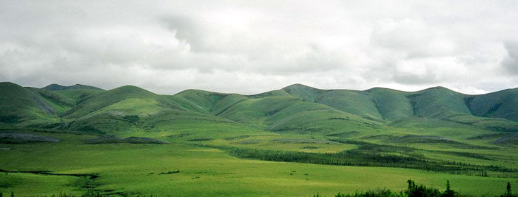
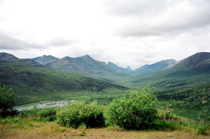
Richardson mountains, near the Yukon-NWT border
The border with the
The border with the
In the summer (from early June until Oktober) ferries take you across the Peel and Mackenzie rivers, in the four or five weeks after closure of the ferry service the “ice bridges “ will open and you can drive over the frozen rivers.
The
On
The graves of the Lost Patrol
in
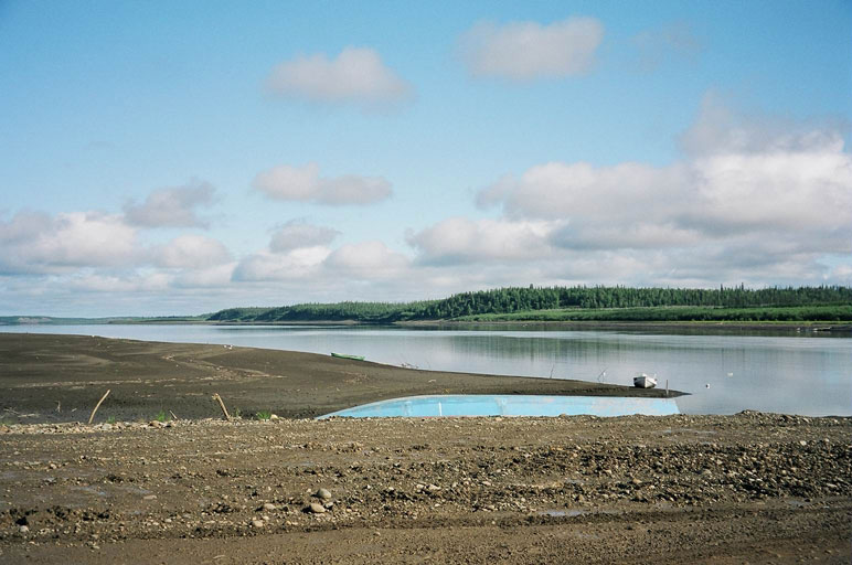
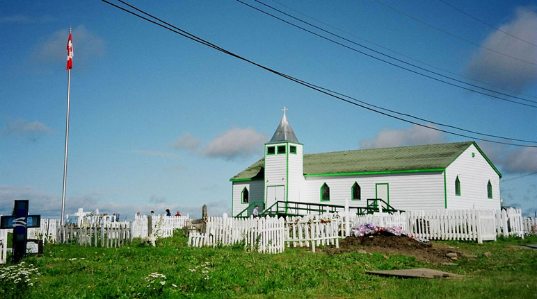
Further on we come threw Tsiigehtchic (or former Arctic Red River) which is another village along the mighty MacKenzie river, it is home to about 200 people.
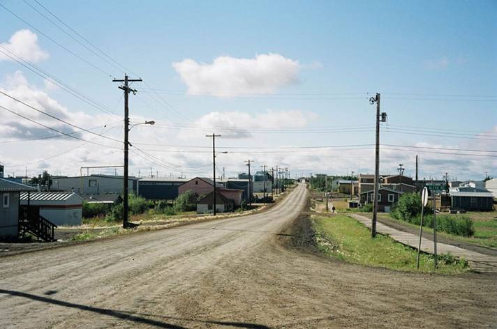
At the end of the
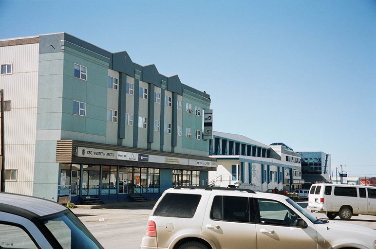
“Downtown”
In winter you can drive further
on ice roads to the town of Tuktoyaktuk, but that’s another story.

![]() Please
let us know if you liked this page......
Please
let us know if you liked this page......
My other pages:
![]()